Rooftop's Mansfield - Mt Howitt
Mansfield - Mt Howitt Adventure Map (5th Edition)
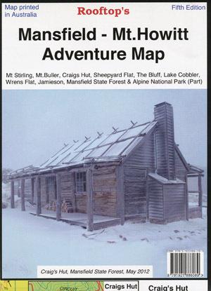
Map coverage is from Mansfield and Lake Cobbler in the north to Jamieson, Kevington and Mount Sunday in the south. It includes Craig's Hut, Sheepyard Flat, Mount Buller, Mount Stirling, Howqua Hills, Jamieson River, Mansfield State Forest, Alpine National Park (part), King Billy, and Macalister Springs. Scale is 1:100,000.
The reverse of the map has a 1:50,000 scale enlargement titled 'Sheepyard Flat - Craig's Hut Forest Activities Map' with contours.
Shows all parks, reserves, state forests, fish and camping spots with GPS co-ordinates.
This map is perfect for exploring Mt Stirling, Stirling Circuit Road, and Craig's Hut.
We aim to have your parcel delivered as soon as possible. Sometimes, unavoidable delays can occur. If you have not received your order in the time frame provided, please get in touch with us at online@carac.com.au.
You can check the status of your order anytime by signing into My Account.
Standard Size Shipping
- $13 Flat Rate - all states except WA (2-5 business days)
- $19 Express Rate - all states except WA (1-3 business days)
- $19 Flat Rate - shipping to WA (3-8 business days)
- $26 Express Rate - shipping to WA (2-5 business days)
Oversized Shipping
Some items are heavy and bulky, and for those oversized items with known shipping charges, we will display these rates in the checkout.
Other oversized items don't have a fixed shipping rate, so we'll provide you with a quote on the best rates and method to your location after we check with our range of specialist shipping partners.
Please read our Shipping Policy page for further details.
Returns
In order to make a return the following points must be met.
- Proof of purchase must be provided.
- Item/s must be in original and unused condition.
- All packaging must still be in original condition.
- Refunds will be issued to the original method of payment and may take several working days to show in your account.
- We will notify you when the refund has been made so that you can track funds.
- Any postage charges incurred in the original transaction will not be refunded, unless we have incorrectly supplied an item.
Online purchases
If you are not happy with your online purchase, you can return it within 30 days of the original order date. To be eligible for return, the terms as outlined above must be met.
To organise a online or in store return, please follow the steps on our Refunds & Returns page.
Same Day Pick Up Available
Ready For Pick Up In 2 Hours. Select Pickup At Checkout.
We'll E-mail When It's Ready
Dandenong South Store Address
2 Zenith Road
Dandenong South VIC 3175
Australia
Ph: 03 9794 7977