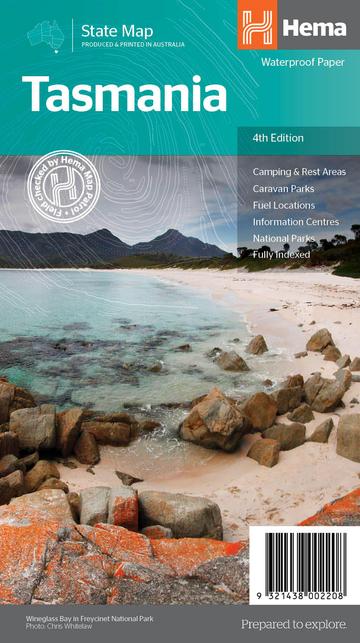
Hema Tasmania State 4th Edition
Part Number 9321438002208
by Hema
Original price
$14.95
-
Original price
$14.95
Original price
$14.95
$14.95
$14.95
-
$14.95
Current price
$14.95
Availability:
In Stock
The fourth edition of Hema’s Tasmania State Map features Hema’s distinctive and informative maps fully, all of which have been field checked by Hema’s Map Patrol to ensure the best possible accuracy with the latest mapping data.
A fully indexed state map of Tasmania (TAS) at a scale of 1:500,000. Marked on the mapping are national parks, fuel locations as well as camping and rest areas.
The reverse side consists of:
- a summary of the key things to see and do broken up into the North West, Launceston, Tamar and the North
- a table listing of National Parks and Reserves with key features and facilities (such as Camping and Caravan sites, BBQ, toilets and showers)
- Visitor centre listing
- Map of the area around Zeehan and Queenstown at 1:250,000 scale (including Lake St Claire and Franklin-Gordon Rivers National Parks)
- Map of Freycinet National Park at 1:125,000 scale
- Map of Southwest National Park at 1:200,000 scale
- Map of Hobart & Region at 1:250,000 scale (including petrol stations, information centres and rest stops marked)
- Fully updated and indexed primary Map of Tasmania at a scale of 1:500,000 and showing national parks, fuel locations as well as campsites and caravan parks
- Detailed maps of the Zeehan and Region (including Lake St Clair and Franklin-Gordon Rivers National Park), Freycinet National Park, Southwest National Park and Hobart & Region
- Complete list of Tasmanian Visitor Information Centres
- Table showing Tasmania’s National Parks and Reserves with key features and facilities
- Summary of the key things to see in Tasmania broken up by region.